
Next day we head for Kitkatla and come upon the outflow of the Skeena River which is in heavy flood.

At Kitkatla while we contemplate anchoring or the narrow approach to a full dock this big crow hopped aboard like
he owned it.

Scenes in Kitkatla.


Lagoon like cove near Kitkatla on Porcher Island. Weird trees and a all round ring of sand with a few
passes. If they were palms it could be the South Pacific.
Next morning it is a bit mystical as we head North towards Hunt Inlet.


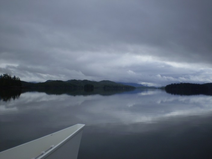
Near Oona River the silt continues to build and heavy drift branches and trees start to appear.

The GPS goes crazy. Indicated speed jumps to 336Kt everything else appears normal. After power off and
restart all is well but Max Speed shows 336Kt. Best not to be totally dependent on this stuff eh.

Hunts Inlet has not changed much since I was last here in the early 80's. This is an up
year for wolves and signs caution about small dogs and children. I plan to carry a big
stick

Chocolate Lily at Hunts Inlet.
I returned to Porcher Island to vist a piece of land that my family owned in the 80's . I wanted to see what was
left of a cabin we put there and look for an old cache of treasures. When last here there
was an old board trail to the west of the stream in the bay that allowed a easier trip
thru the muskeg and could get in to the lake about 1/2 mile inland in about 45 minutes.

We anchored in the bay in poor and worsening conditions and I headed in to the boulder beach
to find the stream with my crew on board to pull out if necessary.


I wander about the slipery boulders but cannot find the stream mouth. I head in anyway and as luck would have
it I am on the wrong side of the stream and must cross it three times on the way in. The terrain is as I recall it but
mercifully the mosquitos have not arrived in force yet.
The GPS is not working properly often failing to find a signal even when out of the
trees. My old hand bearing compass which I used last time I was here seems to know
the way however.

I arrive at the lake and the beaver lodge is still as before.

There is no sign of the log fire pit but the blaze tree is still there but not decipherable.

The cabin has been disassembled but is still on site with some pots and pans.


I looked for the cache for about 45 minutes but one tree looked like another as did all the moss mounds.
I headed back down to the coast but was unable to find the board trail. After decending a few small cliffs
I waded thru the giant skunk cabbage and was back on the beach.

This is a view of the nice German couples cabin that they were hoping to build
a resort around. Apparently about 10 years ago a big storm dropped some trees and changed
a streams course and caused the foundations to washout.

If you decide to go have a treasure hunt the entrance to the stream is right below this big
eagles nest. There were two mean looking eagles in there when I first went ashore so I did
not search the area to hard when I was looking for the stream entrance earlier.

We had heard that highway to Prince Rupert had been blocked by a slide but by the time
we got there the Skeena River had also flooded and covered the same highway. This was the
notice at the tourist info center.

The stores had been cleaned out of fresh produce including milk and eggs and there was no diesel available except
to essential services vehicles.

We saw the 'quad' when we temporarily docked at the Price Rupert Yacht Club and chatted with one of the old guys.
They asked a few questions about Osram VIII. We both cruise at 7kt but we only use about 1/3 the diesel
per mile of the Selene 47's. They were headed to Ketchikan.
Copyright © 2007 Tony Bigras.