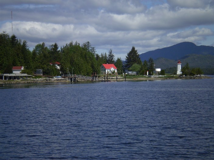
So we head out for Oliver Cove past a pretty lighthouse near Shearwater.
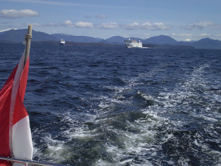
Then into Seaforth Channel with the big boys.
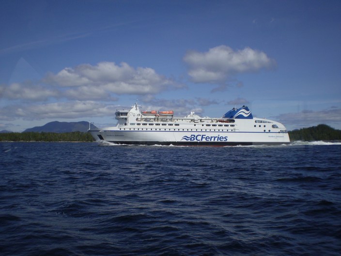
Think this is a replacement for the 'Queen of the North' which they sunk a bit north of here last year.
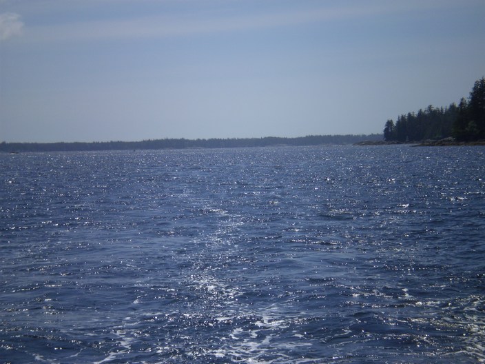
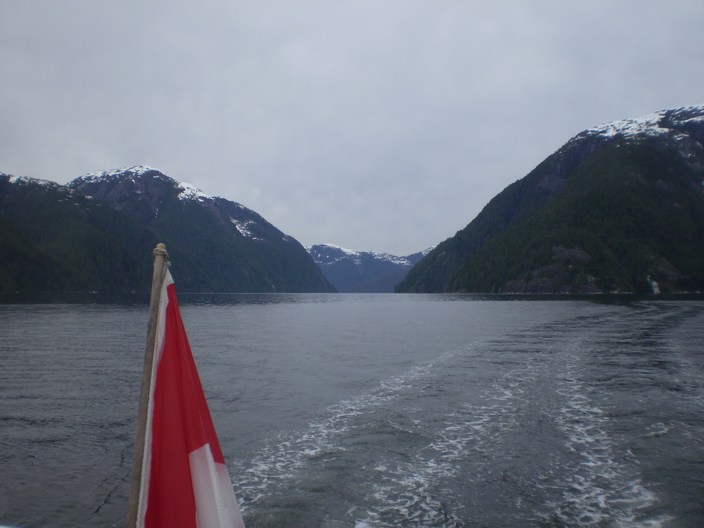
This leg took us out into the edge of the Pacific with swells from Japan in the channel. We turned in thru a narrow
pass called Reid Passage and let the friendly swells find the rocks for us.
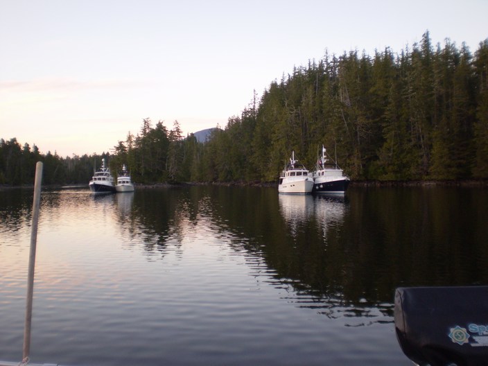
We anchored in Oliver Cove and our buddies the quad came in and once more shared the bay well.
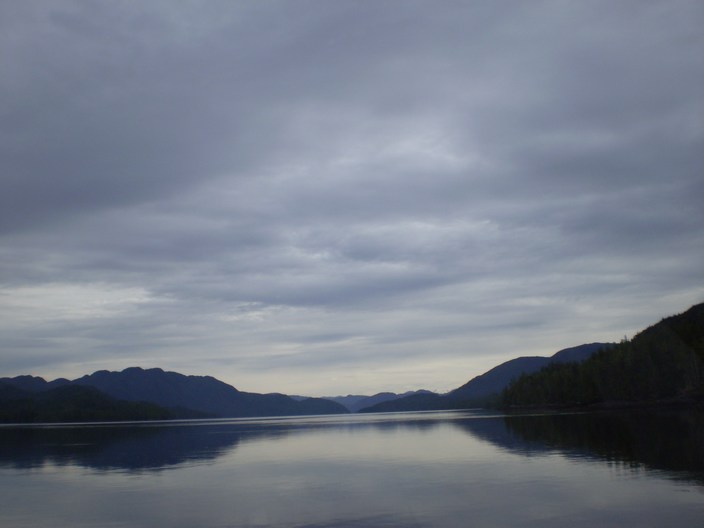
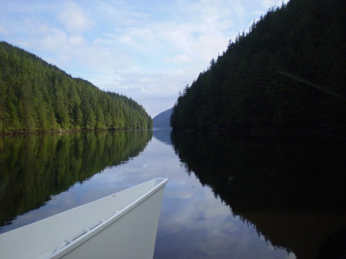
It is now the end of May as we leave Oliver Cove on another pretty nice day.
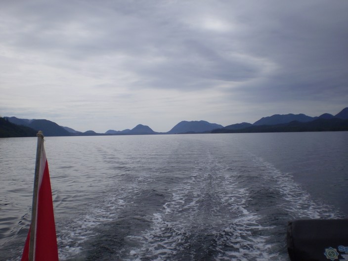
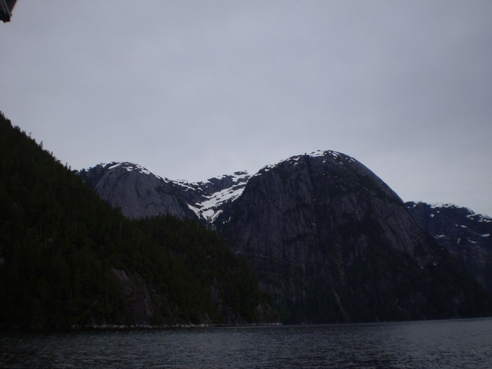
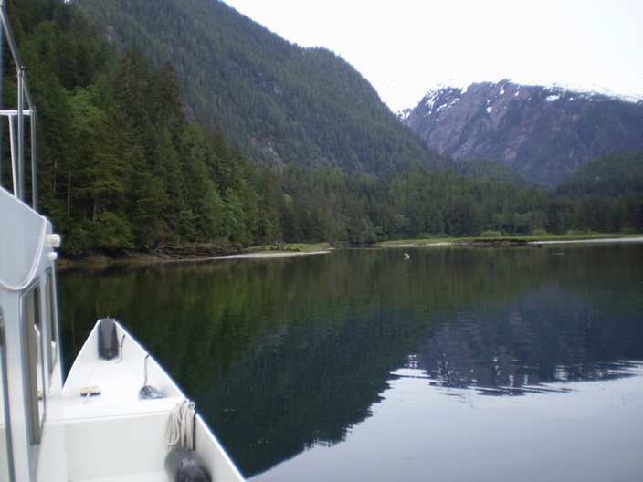
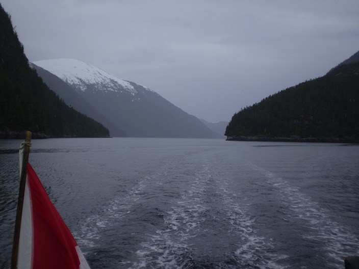
and head up Mathieson Channel
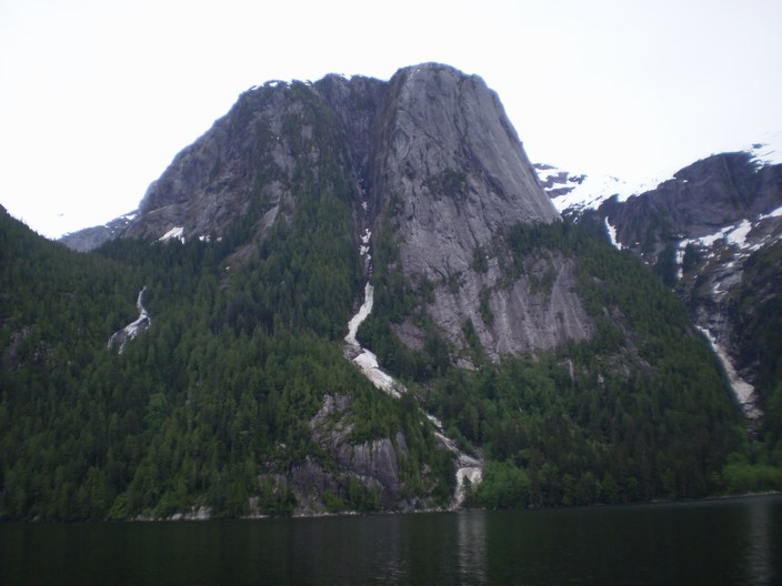
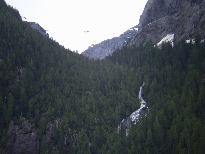
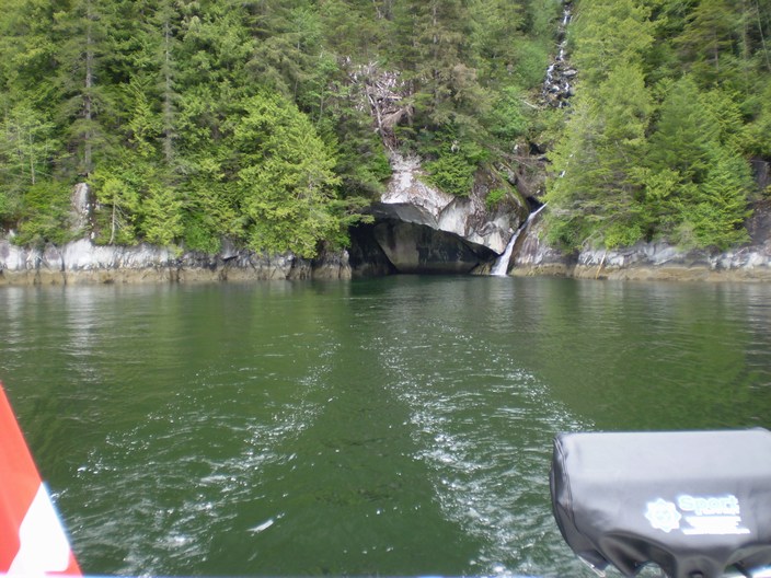
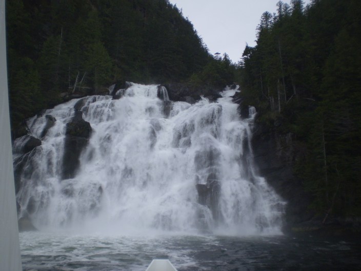
There are lots of waterfalls but we are headed for a really big one a Kynoch Inlet.
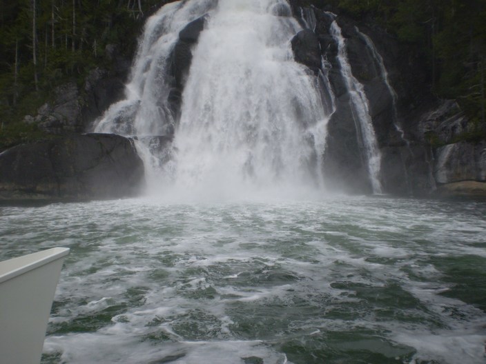
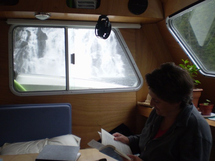
We stick our nose in and get everything covered in heavy SALT spray. The fresh water kicks the salt water up
into the air.
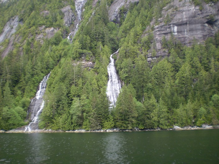
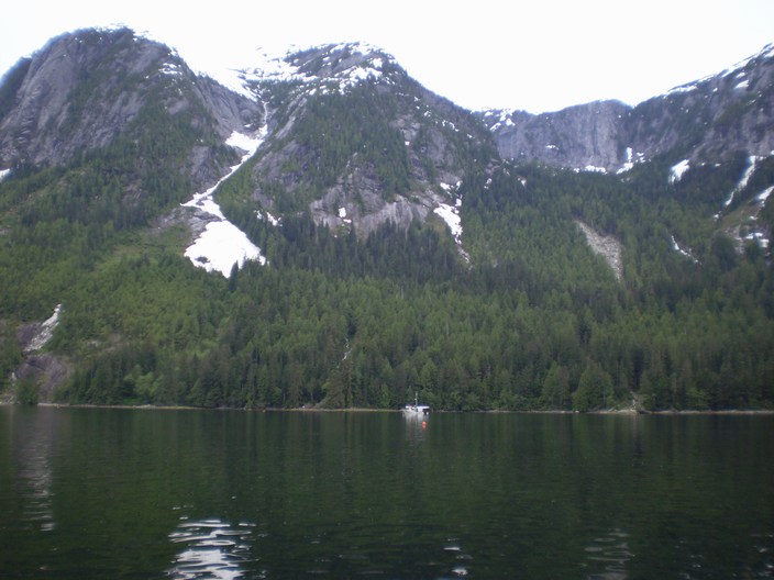
There are lots of falls here.
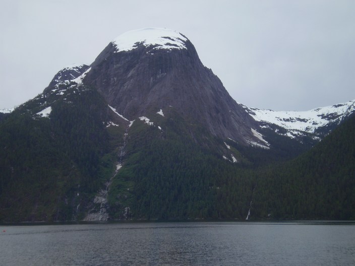
Plus neat mountains
Plus this lonely prawn boat
Plus more hills.
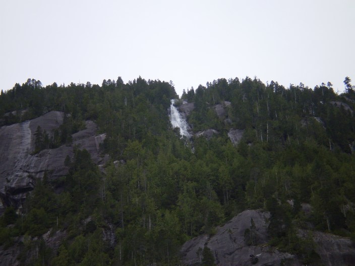
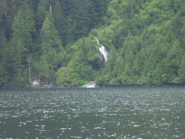
Plus more waterfalls.
The snowy ridge is not visible here as the high overcast blended in with it.
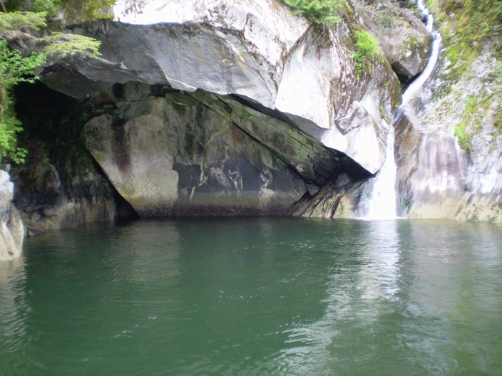
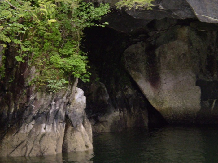
And a cave!
We stick our nose in.
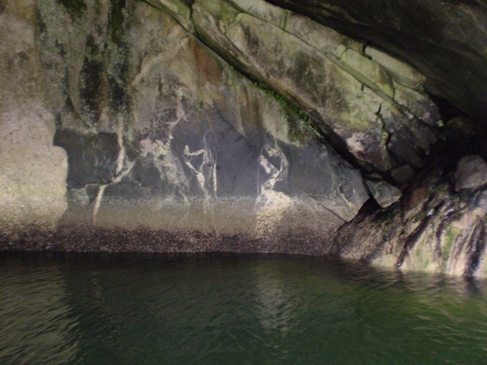
Way in and turn around inside the cave.
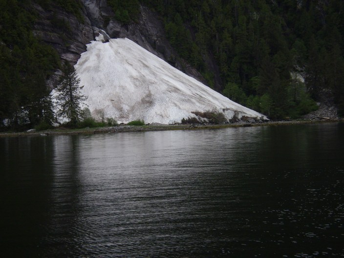
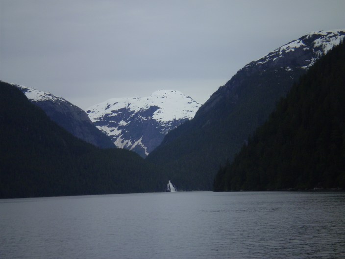
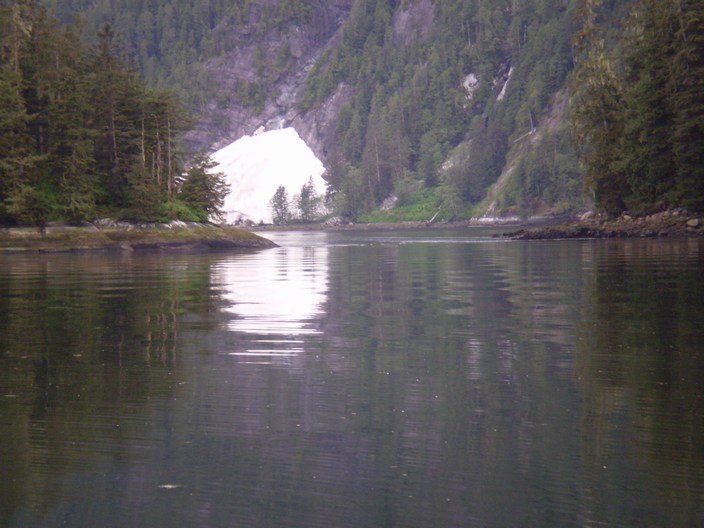
Year round snow at the head of Kynoch Inlet near the entrance to Culpepper Lagoon.
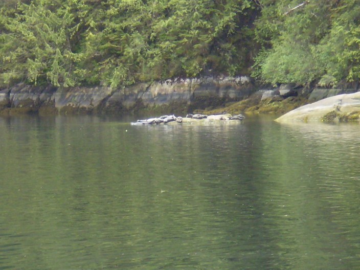
We head in to Culpepper Lagoon thru the the narrow rapids and find these professional sun bathers.
We anchor near the dropoff by the stream.
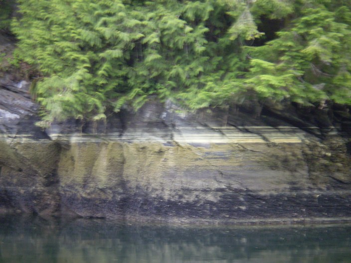
There are lines of pollen on the rocks throughout the lagoon.
Next day out thru the rapids near slack.
And off we go out of Mathieson Inlet. A very neat place.
And then on to Lizette Falls.
It is all a bit overwhelming.

Foam looks like ice as we leave.
Underway in the rain in Sheep Passage.
Now anchored in Work Bay. This was a nice spot too.
Copyright © 2007 Tony Bigras.